
Born for good luck, up and out by 10,

checking out under artwork-desires terrible and sweet,

up to the high country of

Yucaipa, for morning coffee with the ever-popular John,

then re-supply at drugstore where the windows bespeak the wonders of Morton Peak

and the Ridge,

heading vaguely toward the latter away from the Crafton Hills.

Manicured rocks and trees on the mid-day walk give way to

Yucaipa Ridge views over

venerable ranches

of uncertain future,

along the parking prospects of Oak Glen Creek watershed

toward Mt. Pisgah,

forbidden fields,

and quixotic querulousness.

Back in the car, blasting off from Waterman above the Jurupa Mountains,

a return to old Pomona haunts

along leafy

College Avenue in

Claremont provides

respite below the San

Gabriels,

before further

westering

towards
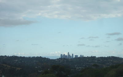
Los Angeles,

the Santa Monica

Mountains,
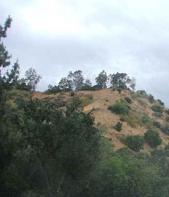
Griffith Park,

Burbank,

the Hollywood Hills,

and another detour up Van Nuys Boulevard.

North through the San Fernando Valley

with last looks of the south faces of

the Transverse Range,

the pipeline

escape

up

a partially pine-clad (big-cone Douglas fir, actually)

Newhall pass

leads past

erosive summits

to vestiges of oak woodland near Valencia.

Violin Canyon is

the Jacob's Ladder

stairway to
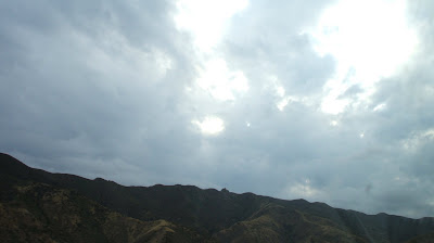
heavenly vistas of side canyons including

Canton and

Piru to the west (with

cloud-capped companions), and

Liebre and

Apple east,

reaching the high country of Hungry Valley,
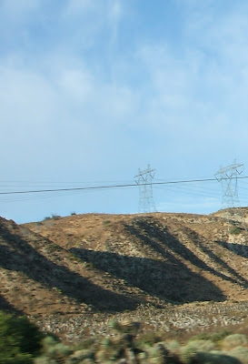
where the desert is close.

It's only a short way to Gorman
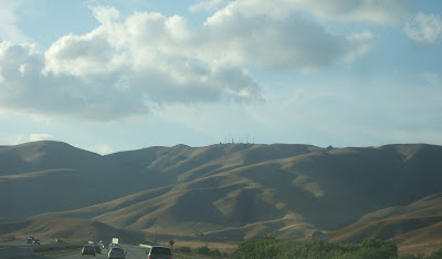
Ridge,

up and over the Pass,

to the Frazier Park descent towards

Tejon Ridge.

The latter's Ranch and

Ft. zoom by into the

Grapevine's
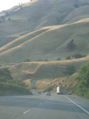
stern walls,

opening out into San Joaquin
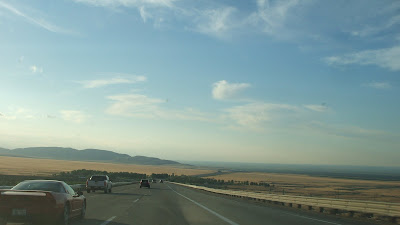
Valley sun coursing off

the Southern

Sierra

and Coast Ranges,

where I-5 crosses
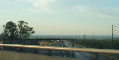
Route 99,
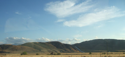
heading northwest past
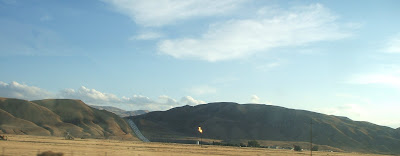
a flaming

Temblor Range

and Mettler-Maricopa.

Sunset,

over Buttonwillow,
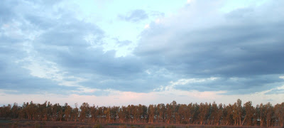
Lost Hills,

and the Southern

Coalinga

Range.

The last light off

the Kettleman Hills presages another stop at

Harris Ranch,

familiar yet Heraclitianly different,

as the dark enfolds

north to journey's end.
